An iPhone is an amazing tool. It is a flashlight, a camera, a road atlas, a newspaper, a radio, a calculator, a clock, a notepad, a fitness tracker, and an excellent all-around communication device in one small package. Yes, it is certainly a wonderful invention.
When it works, that is.
A Fork in the Spoon
Wanna kayak the Spoon? read the text from Dad.
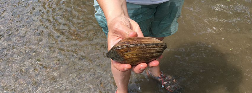
One-hundred sixty miles in total, the Spoon River drains an area of some 1,850 miles in central Illinois. Its name is most likely a translation of the Illinois and Potowatomi word emiquon, referring to the abundant mussel shells that the Native Americans used as spoons. Ten miles south of Kewanee in Stark County, where the East and West Fork come together, it meanders southwest, cutting across the northwest corner of Peoria County into Knox County, winding its way through Fulton County, until it finally empties into the Illinois River at Havana.
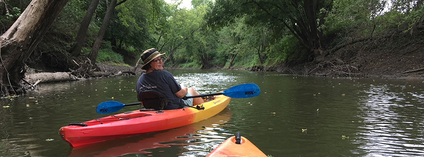
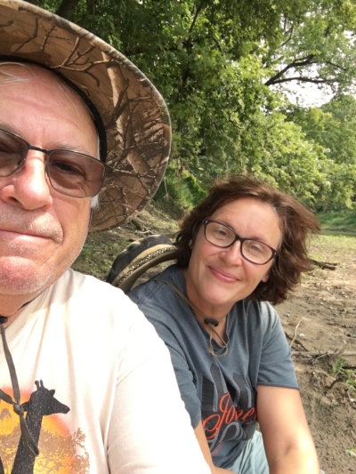
It was another of our grand ideas, to kayak the length of the Spoon River. It is not the first time my dad, Dennis, a retired postmaster, and I have planned a quest together. We have kayaked our fair share of water, but neither of us had ever paddled that many miles before. I was soon to celebrate my 42nd birthday, and Dad was fast approaching 70. Still, this seemed like an adventure well within our grasp.
Why not?!? I replied to his text.
Famous last words.

How High’s the Water, Papa?
We encountered a snag in our planning from the beginning. Ninety-eight percent of the Spoon River is bordered by private land. Rather than convince landowners that this middle-aged woman and her father were not planning to hold a mini-Woodstock on their respective properties, we scrapped our original plan and decided to kayak it in sections. They would be day trips, no illegal camping required.
Our first section, from Elmore to Dahinda, was uneventful, if a bit of a drag. Literally. We had been without rain for weeks, so the river was low. Sometimes we would hang our feet outside to scoot ourselves across. Often, we had to get out and drag our kayaks to deeper water. Deeper, meaning 18 inches. The disgusted noises we made meant one thing: Stuck. Again.
What it lacked in depth though, it made up for in beauty. Water-loving cottonwoods, along with oak, hickory and maples lined both sides. We could clearly see the sunfish, bullhead and carp flitting downstream. Poles dotted the shoreline, jammed deep into the muddy banks.
“Check this out,” I hollered, pulling on a taut line. A catfish, close to two pounds, flipped angrily on the end.
“Good eating for somebody,” Dad replied. Sadly, not for us. I put it back.
Our 13-mile trek to Dahinda took us over six hours. We were in no hurry, eating lunch on a sandbar, marveling at the grooved tracks mussels left behind in the riverbed. We waded into the river. It was thigh-deep, relaxing in its coolness.
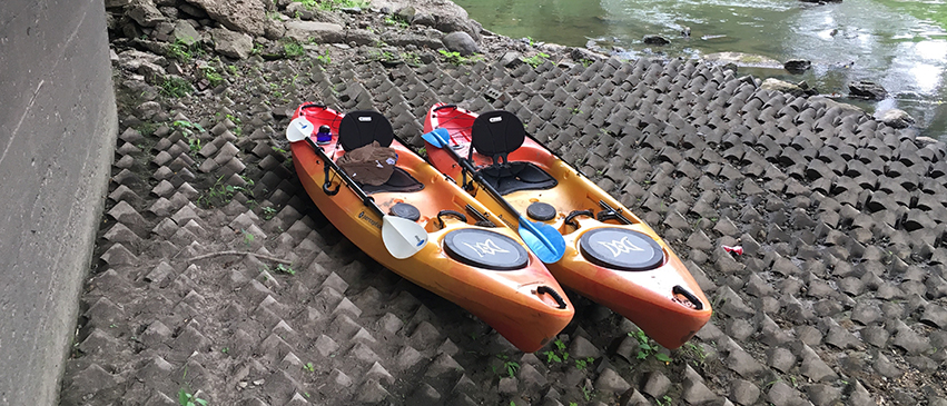
The takeout under the Dahinda bridge was anything but. Steep and muddy, it took us longer than planned to haul our 60-pound kayaks up the embankment to the truck. My mom, our pick-up, waited above us. “Hurry up! The general store closes at five o’clock,” she warned from her clean, dry spot high up on the bridge.
We made it with minutes to spare. As the clerk flipped the sign to CLOSED, we enjoyed our hard-earned sandwiches on the porch. “Let’s backtrack. We’ll do the first section next,” Dad said.
“Why not?” I shrugged, talking through a mouthful of sandwich.
 A Bridge Too Far
“Bad news. Gonna rain all morning,” Dad warned.
“I don’t mind rain,” I said hopefully. Due to work and family obligations, it was already August 20th, nearly a month after our first trip. I was not keen on cancelling, but lightning in the forecast made it a no-go.
Two hours later, however, Dad called again. “Good news! Rain’s clearing up by 1pm.”
“Let’s do it then,” I replied.
“Gonna have to paddle like hell,” Dad warned. We would have only seven hours of daylight to go 14 miles. No problem, we agreed.
With Mom as our pick-up again, we put-in at a spot on Sharkey Road, five miles south of the town of Wyoming. The first few miles of farmland gave way to craggy bluffs where we sighted several eagles. From the beginning though, cell connection was spotty, which meant we could not consult Apple Maps. Fortunately, Dad had printed copies of maps we checked frequently to determine our position.
“Not sure we’re gonna make it,” Dad said after a few hours of paddling.
“Let’s call Mom to pick us up at one of these bridges ahead,” I suggested. Waiting until I had a usable signal, I called Mom, asking her to meet us a few miles ahead at Whitaker Road Bridge. Unable to give exact directions, I cautioned her to look it up before she left my house in Kewanee.
As the trees cast long shadows across the water, we came upon our take-out point. No bridge. No road. No service. Calls to Mom went directly to voicemail. I left several, hoping she would get them in time. Nothing to do but keep paddling.
The next possible take-out was the Highway 78 bridge north of Laura. Darkness was upon us—we had no choice but to disembark under the bridge on a concrete foundation as fortified as the Maginot Line. Using the flashlights on our phones, we quickly realized there was no chance of dragging our kayaks up the embankment in the dark. We would be lucky to get ourselves up, so we abandoned them, planning to come back the next day to retrieve them.
After picking our way up very carefully, we trudged along the edge of the dark highway. Cars gave a wide berth; no one stopped to pick us up. I did not blame them. Seven hours on the river leaves anyone looking rough. “Try Mom,” Dad suggested.
“No point,” I replied. The Spoon River Bridge on Highway 78 is a notorious dead zone—my calls religiously dropped there. We would have to get to the top of the next hill before we would have any chance of reaching her.
I left more voicemails, explaining our predicament. Soon, a familiar truck pulled up. Seeing Mom’s face through the window, I was immediately transported back 30 years.
“Get. In. The. Truck,” she said through tight lips. Dad and I meekly obeyed.

Why Not?
We met the very next day to pick up the kayaks. (It was just the two of us; after the previous day’s debacle, Mom was not too keen on helping us again.) There was no way to get them up that embankment, even in the daylight, so we had to finish our trip. Maybe not as we had originally planned, but we were not quitters. It was only five miles. Besides, we had already done the hard part.
Despite the current low levels, there had been significant flooding that spring, which resulted in considerable debris. Up until that point, we had been able to navigate with little difficulty. But after only a mile into Day Two’s paddling, the jam we encountered was six feet across and densely packed, as if it had been purposely placed to keep us from moving forward. The river was five feet deep there, the deepest we had encountered. Neither of us wanted to get into the water—too many unpleasant surprises are found in logjams.
“We can’t go through it,” Dad said, surveying the situation. “We’ll have to go around.”
Once again, we hauled our kayaks up another muddy embankment to flat ground. I broke one of my hiking sandals; it flopped uselessly as we carried our crafts, one by one, through stinging nettles. We slogged one-fourth of a mile before we found a suitable put-in.
“We need lighter kayaks,” Dad suggested, as we finally settled back into the water. I prayed there would be no more portages. My poor legs could not take much more abuse.
Thankfully, the rest of the trip was peaceful, with only a series of small rapids providing enough excitement to break up the afternoon’s tranquility. Soon we approached the first bridge at Elmore, which marked the final bend in the river before our take-out point. (Undeterred by our mishaps, we would kayak again a few weeks later, nine miles from Dahinda to the Wolf Covered Bridge near Gilson. It would be a much smoother trip: no missing roads, no painful portages, no Mom driving around in the dark, cursing her husband and middle child. Beautiful, of course, but not as much of an adventure.)
Ahead of me, Dad called back, “Let’s do this again!”
Our difficulties lost to the river, I agreed. “Why not?” I hollered. Dad’s laugh echoed off the shining water. PM
Marie Smysor Watson—writer, nature lover and avid bookworm—is a lifelong native of central Illinois. She lives in Kewanee with her husband, Kirk, and her three teenage sons.
- Log in to post comments

