
A new tool helps planners determine how close a local watershed is to its known tipping points—the thresholds that, if coursed, will fundamentally change how aquatic ecosystems function.
In late January, 40 people gathered in a conference room at the Peoria Riverfront Museum for the first of several planning workshops. These artists, activists, public officials, union representatives, academics and retirees were ready to take a hard look at the city they call home, and together, imagine the city they would like it to become.
“The potential is so amazing—its geography, its natural and cultural history,” says Anthony Corso, Peoria’s Chief Innovation Officer and the event’s main organizer. “It’s a sad state we’re in right now, but with the right motivations, we can change direction.”
Charged with addressing Peoria’s pressing CSO problem (in short, the flow of sewage and stormwater through the same pipes), Corso’s job is no easy feat. The problem, which has plagued the city for years, is being closely watched by the United States and Illinois Environmental Protection Agencies. Their message was clear: develop a plan to fix it.
With limited funds to tackle the issue, Peoria has been forced to look into approaches beyond simply separating the pipes. Stormwater has to go somewhere, so why not construct a strategy to physically modify the Greater Peoria landscape to accommodate it?
Follow the Water: A New Approach
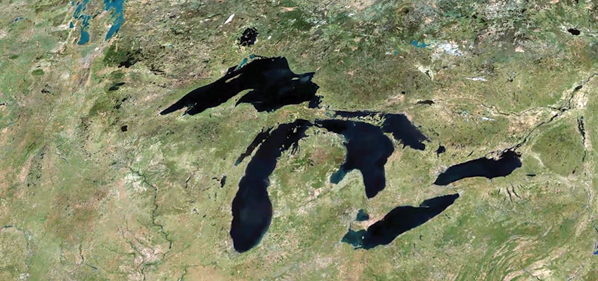
Kara Salazar, Sustainable Communities Extension Specialist with Illinois-Indiana Sea Grant, led that day’s visioning session using a complex, web-based planning tool, Tipping Points and Indicators. Developed over the last five years, it is a collaboration among 22 scientists and nine institutions that compiles research from around the Great Lakes, identifying impacts on water quality from multiple land uses—both agricultural and urban—in various locations, particularly near lakes and streams.
Tipping Points analyzes watershed research to help communities and planners understand how close their watershed is to ecological thresholds—and what the watershed will look like if land-use decisions continue on the same course. Cross a tipping point, and you risk not being able to rehabilitate an impacted region.
“We’re looking for things on land that are correlated with the changes we are seeing in the water and how we can identify ‘tipping points’,” Salazar says. “Are there places where you see too much ecological stress and the stream and aquatic environment starts to shift from an intact healthy state to an impacted state? Has it gone over a tipping point?”
Prior to this Peoria project, Tipping Points had never been used in such a heavily urbanized location. Purdue University PhD student Jingqiu Chen, who has been studying the impacts of urbanization on water quality, has developed an additional modeling tool called Long-Term Hydrologic Impact Assessment Low Impact Development (L-T HIA LID), which is specifically based on Peoria’s issues. The program aims to reduce the impacts of stormwater and pollutants on land development. Its ultimate goal is to help communities determine the best way possible—ecologically and economically—to maintain and restore healthy water conditions.
“Peoria has an issue they’re trying to resolve, and there are very costly solutions to it. We’re helping them explore alternatives that are less costly and would provide other environmental benefits as well,” says Dr. Bernard Engel, head of the Agricultural and Biological Engineering Department at Purdue University, who leads the project with Chen. “I think some of the technologies we’ve been working with are uniquely suited to help solve this problem.”
A Win-Win
There isn’t a simple fix for a city like Peoria. And while everybody has their own feelings about what’s good about their community, what they’d like to keep and what they’d like to see get better, ultimately, improving water quality in Peoria is linked to reducing how much water flows through the CSO.
One way to do that is with green infrastructure, which can include parks and open spaces, or installing more porous surfaces. Each of those choices will have positive and negative effects on the community, and the goal is to pick the suite that best matches community values; Tipping Points helps provide balance. The city’s goal is to resolve its problem with 100-percent green infrastructure. If the plan is successful, Peoria would be the first in the nation.
Tipping Points is helping Peoria figure out not only what environmental variables need attention, but how to go about choosing among the many green infrastructure options. The program is so targeted, it can, for instance, even help a community set aside land for agritourism or rehabilitate wildlife populations.
Peoria will be getting lots of help along the way. The University of Illinois Extension and Illinois Water Resources Center will offer guidance for the city to do their part in addressing the state’s ongoing nutrient loss reduction strategy, as well as provide education opportunities to local schoolchildren.
“The CSO problem is going to drive us to remediate,” notes Denise Urycki, a Peoria resident and president of Gifts in the Moment Foundation, which works to provide access to fresh, local produce, especially in food desert areas. “That’s going to mean more green space—things like gardens—which can, in turn, not only make our physical community healthy, but we as individuals as well.” iBi
Abigail Bobrow is the science writer for Illinois-Indiana Sea Grant, sister organization to the Illinois Water Resource Center. Together, the organizations are assisting the City of Peoria in developing a watershed plan to avoid environmental tipping points. To learn more about the Tipping Points planning tool, visit tippingpointplanner.org.